

Our team has been surveying since1989
About
Who's behind it
From measured buildings and development sites on this website, to offshore platforms and process plant as Phase Projects. The same survey team and the same control standards, whatever the size of the job.
“I’ve been surveying since 1989.” Chris Reid, Managing Director
From 1989, when computers, instruments and plotters looked like this, and site calls were made from the car.
- Office
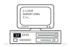 01386 PC
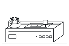 02HP pen plotter with pen carousel
- Comms
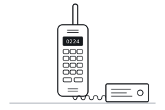 03Car phone
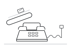 04No internet: the phone on the desk, drawings in the post
- Deliverables
 05Paper plans
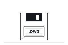 062D .dwg files on a floppy disk
- Site
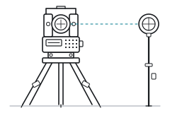 07Geodimeter 410 total station and circular prism on a pole: a two-person job
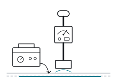 08CAT and Genny
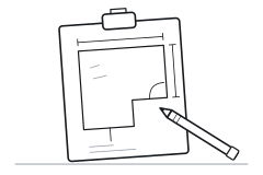 09Paper sketchpad
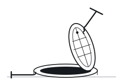 10Manhole keys, and a cover lifted by hand
 1135 mm film camera, 36 shots a roll
- Transport
 12Volvo 340, white (c/w rusty, no air-con)
To today.
- Survey control
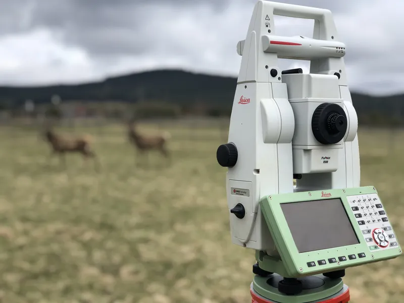
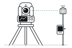 01Robotic total station: one person
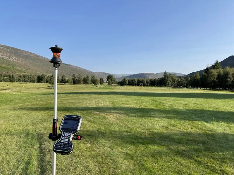
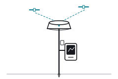 02GNSS RTK rover
- Scanners
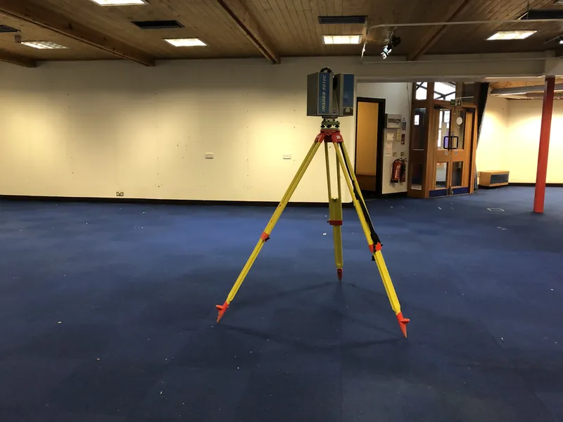
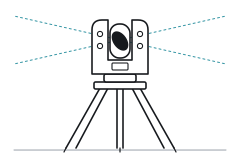 03High-precision laser scanner
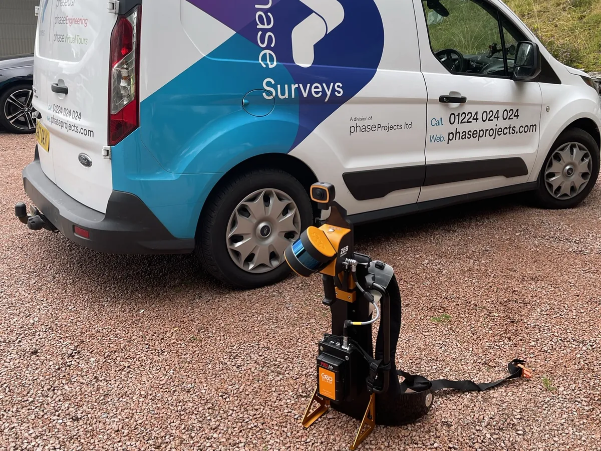
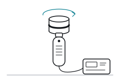 04SLAM scanner, using since 2023: around five times faster, less detail
- Virtual tours
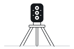 053D tour camera
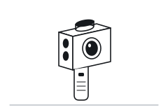 06Handheld spatial camera
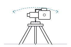 07DSLR on a panoramic head
- Drones
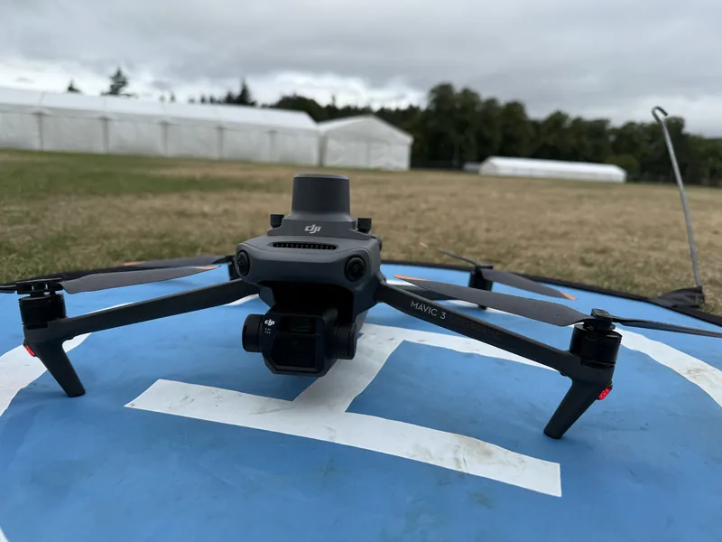
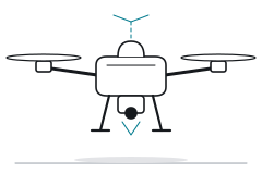 08Survey-grade RTK drone
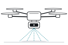 09Lidar drone
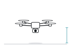 10Mini drone
- Underground
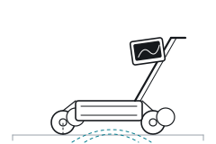 11Ground penetrating radar cart
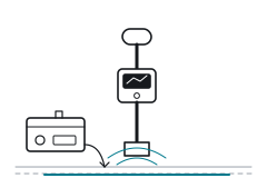 12Cable locator and its transmitter
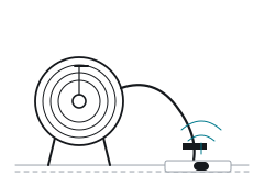 13Rod reel with a sonde
- 14Manhole keys: still lifted by hand
- Office
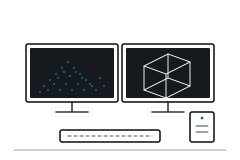 15Point cloud processing workstations
 16Processing and CAD software
- Deliverables
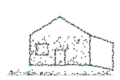 17Point clouds
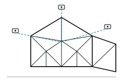 18Textured 3D model
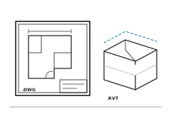 192D and 3D in the formats you work in: .dwg, .rvt and more
- Transport
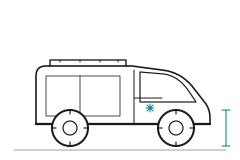 20Off-road van, with air-con
What a survey delivers has changed beyond recognition. In 1989 it was a drawing. Today, one visit can give you a controlled point cloud, 3D models, 2D drawings and a virtual tour.
On site
Ready to scope your survey?
Tell us what you need and we'll reply with a scope and a quote.
Request a quote